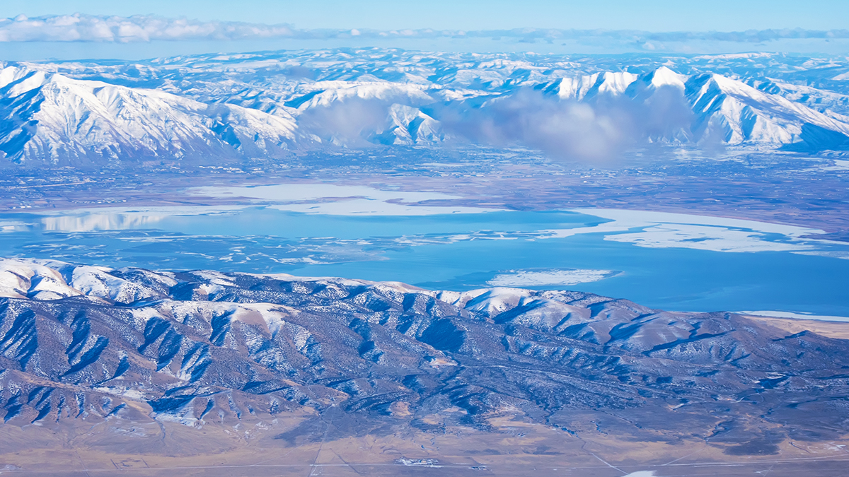
The Great Salt Lake, renowned for its high salinity, has revealed a surprising secret: a substantial underground reservoir of freshwater, according to a recent scientific investigation.
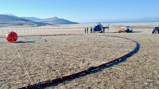
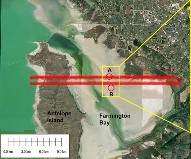
A team from the University of Utah conducted an airborne electromagnetic (AEM) survey, utilizing a helicopter to examine a segment of the lake, specifically encompassing areas of Farmington Bay situated along the lake’s southeastern perimeter.
This advanced AEM methodology serves a dual purpose: it accurately gauges electrical conductivity, a critical factor in distinguishing between saltwater and freshwater, and it concurrently assesses the composition of underlying rock formations. Consequently, the collected data offers valuable insights into the location and depth of potential freshwater deposits.
The geophysical analysis uncovered a distinct and significant depression in the lakebed’s bedrock within the investigated zone. This geological formation has created a considerable void, now filled with accumulated sand and silt, which appears to be saturated with freshwater.
“Our research has effectively determined the depth and spatial distribution of this potential reservoir beneath the eastern lakebed,” states geophysicist Michael Zhdanov, as reported in The University of Utah’s “At The U.” “Understanding its depth and extent, along with the porous volume, allows for an estimation of the freshwater reserves.”
“With knowledge of the depth and width, coupled with an understanding of the porous space, the potential volume of freshwater can be quantified.”
The researchers conservatively estimate that this freshwater accumulation could extend downwards from 3 to 4 kilometers (approaching 2.5 miles). However, a comprehensive survey encompassing the entirety of the Great Salt Lake is essential to confirm these findings, as the current assessment is limited to a smaller section.
Prior indications of subterranean freshwater beneath the Great Salt Lake had been observed, partly evidenced by the emergent reed-covered islands that have appeared throughout the basin. Nevertheless, this latest undertaking represents the inaugural rigorous effort to quantify the potential size of such a freshwater reservoir, as detailed in their publication in Journal of Hydrology.
While the existence of freshwater was anticipated to some degree, its potential expanse proved to be a considerable revelation. The AEM survey identified the sediment-filled bedrock depression, or ‘bowl,’ extending significantly further into the central region of the Farmington Bay playa than initially theorized.
The presence of some freshwater near the lake’s periphery, influenced by runoff from surrounding mountainous areas, was expected. However, the data suggests a far more extensive distribution of freshwater across the approximately 2,500 square kilometers (950 square miles) of the lakebed.
“The surprising aspect of our findings wasn’t the shallow saline layers we observe near the surface across the playa,” explained Johnson during a recent broadcast on Utah radio station KPCW’s Cool Science Radio show. “Rather, it was the remarkable inland extension of the freshwater deposit towards the lake’s interior, and its potential presence beneath the entire lake – a fact that requires further investigation.”
Furthermore, the research team posits that this subterranean water source could hold significant practical value. As the Great Salt Lake’s surface area diminishes due to evaporation, the concentration of pollutants within the exposed lakebed dust poses an increasing environmental and health concern for nearby communities.
This airborne particulate matter, laden with toxic elements, frequently drifts into Utah’s urban centers. The strategic application of freshwater could offer a viable strategy to mitigate this issue.
“We must first thoroughly understand the environmental benefits associated with this groundwater before considering its extensive extraction,” emphasizes hydrologist Bill Johnson. “A primary objective is to ascertain the feasibility of utilizing this freshwater resource to effectively dampen dust hotspots without causing undue disruption to the freshwater system itself.”
The research group is actively seeking additional funding to broaden the scope of the AEM survey and conduct more extensive analyses of the lake’s sub-surface. A key priority is to precisely delineate the boundaries of the significant bedrock depression.
Such detailed mapping will not only provide a more accurate estimate of the total freshwater volume but will also be instrumental in future water resource management strategies. Moreover, it offers a valuable framework for investigating similar geological formations in other saline lakes globally that might harbor comparable hidden reservoirs.
The employed methodology, which integrates magnetic readings to ascertain subterranean rock depths with electrical conductivity measurements to pinpoint freshwater zones, can be adapted for application at other sites beyond the remaining portions of the Great Salt Lake.
“This underscores the imperative to survey the entire Great Salt Lake,” states Zhdanov. “Only then will we possess a complete understanding of its subterranean characteristics, from top to bottom.”
“We employ diverse techniques to scrutinize the vertical extent of these freshwater-saturated sediments and to precisely identify the depth to the underlying bedrock.”